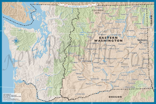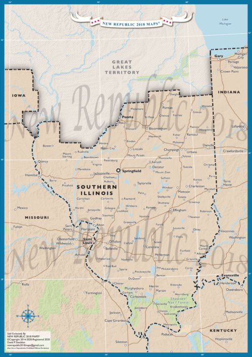
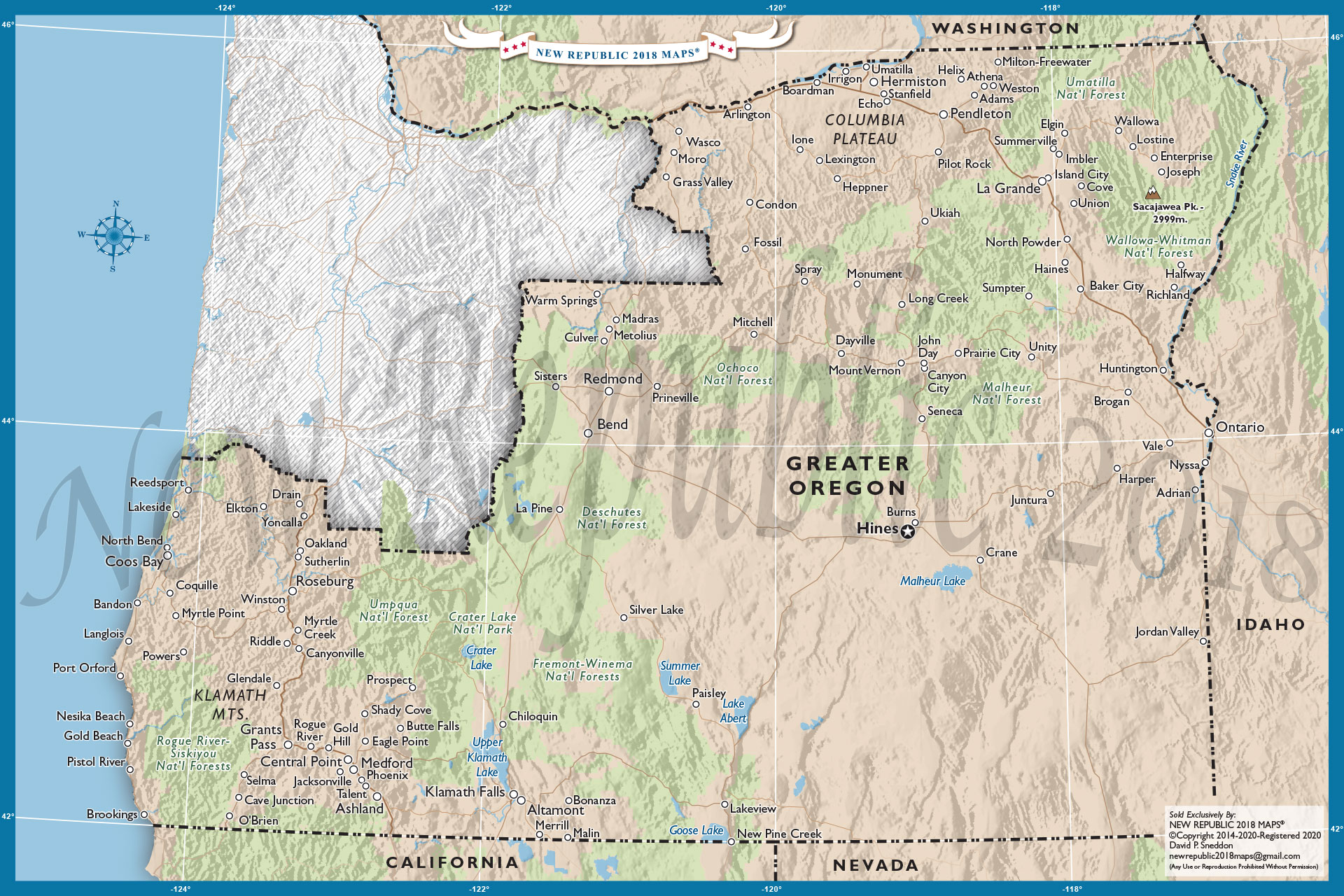
East Oregon Map
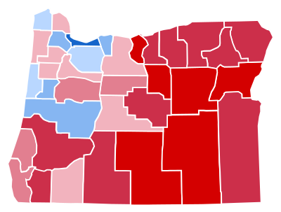 Oregon is the poster child of why rural counties need to break away from their urban cousins. After Reagan won the state in 1984, all subsequent Presidential elections have been won by Democrats. With all the BLUE wins, it might be surprising to know that a majority of counties in Oregon are RED. For example, Clinton won the state in 2016, but carried only 8 of 36 counties. The small cluster of BLUE counties are ALL located in the northwest region of the state. The cities of Portland, Salem, and Eugene control the state “the Chicago way“. With few variations, a majority of Oregon counties have remained RED for several elections. Yet, the Democrats as of 2018 control the State Legislature, the Governorship, both U.S Senate seats, and four of five U.S House seats. So who speaks for the RED counties and rural communities? Maybe it’s time Oregonians start a serious discussion about splitting the state, so rural communities finally have a voice.
Note: In 2019, the state Democrats floated a bill in the Legislature lowering the voting age from 18 to 16. During the same legislative secession, the Oregon Senate voted 17-12 to eliminate the Electoral College. These ploys by the Democrats are designed to bolster power and voting numbers for 2020…. and beyond. By all measure, Oregon is already a one party state. Apparently, total dominance is not enough.